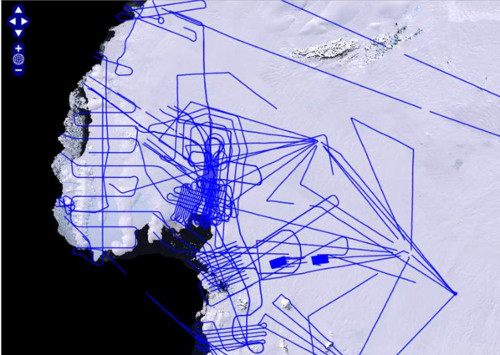
CRESIS flight tracks (2009-2014)
Description
The Center for Remote Sensing of Ice Sheets (CReSIS) is a Science and Technology Center established by the National Science Foundation (link is external) (NSF) in 2005, with the mission of developing new technologies and computer models to measure and predict the response of sea level change to the mass balance of ice sheets in Greenland and Antarctica.
References
We acknowledge the use of data and/or data products from CReSIS generated with support from the University of Kansas, NSF grant ANT-0424589, and NASA Operation IceBridge grant NNX16AH54G.
2. CRESIS research program - Antarctica
Figures

Figure 1: CRESIS Airborne radar flight lines from the CReSIS OpanPolarSerber (OPS) GeoPortal. CRESIS GeoPortal, CRESIS