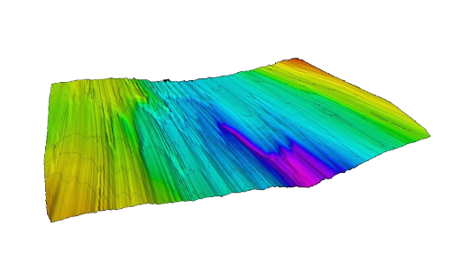
DELORES DEMs (2010-2011)
Description
DELORES 2010-2011 Elevation raster ('EDMAP') created from DELORES survey data. This DELORES raster data was collected during a three week field expedition and validated the proof of concept of the DELORES system.
The DELORES DEM is not currently available for download on the iSTAR GIS directory as it is currently pre-publication, once this data has been published it will be available through the iSTAR GIS download repository.
Figures

Figure 1: DELORES DEM Elevation raster from 2010 survey by Robert Bingham iSTAR C - preperations update