ASIRAS Tracks
Description
ASIRAS (Airborne SAR/Interferometric Radar System) is an airborne SAR-altimeter instrument of ESA in preparation for CryoSat validations campaigns. The objectives are to increase the confidence level in the expected instrument performance and to validate the measurement/processing concepts prior to the CryoSat implementation and launch - and to use the instrument after the spaceborne mission launch in underflights during the commissioning phase of the CryoSat mission for calibration validation analysis.
ASIRAS operates a high frequency (13.8 GHz), wide-bandwidth (1 GHz) Ku-band airborne radar and was flown over the traverse to allow cross-comparison of CryoSat-2 pRES and GPR data.
References
1. Konrad, H. , Hogg, A. , Morris, L. , Smith, A. , Helm, V. , Steinhage, D. , Mulvany, R. , Gurney, R. J. and Shepherd, A. (2016): Stratigraphy and surface accumulation variations on Pine Island Glacier, West Antarctica, from airborne, ground-based and satellite observations , ESA Living Planet Symposium, Prague, Czech Republic, 9 May 2016 - 13 May 2016. Available here
Field photo

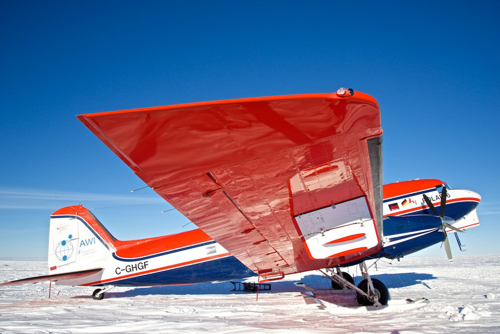
Polar 5 Alfred Wegener Institute (AWI) aircraft flown to collect ASIRAS data during the 2014-2015 field season and covered approximately 2600km. Alex Taylor, BAS