Radiosonde Launch Locations
Description
As part of the iSTAR Ocean2ice project a series of 40 weather balloon launches were planned. With approximately 30 science days in the study area this allowed for one launch each day with an additional 10 sondes for two or three timeseries where 4 or 5 sondes are deployed approximately 4 hours apart to examine interesting weather events.
The radiosondes attached to the balloons collect an atmospheric profile of temperature and humidity, with a built in GPS unit to calculate windspeed and direction. The radiosondes will be one of the data sources used to assess the quality of meteorological reanalysis products. These reanalyses are used to force ocean models and it is important to know how well they simulate weather conditions in regions such as the Amundsen Sea which have very few direct meteorological observations. Radiosonde launch times were flexible depending on ship activities but where possible daily balloon launches occurred close to 1100UTC so data was being recorded at 1200UTC when reanalysis charts are routinely available.
References
1. Jones, R. W., I. A. Renfrew, A. Orr, B. G. M. Webber, D. M. Holland, and M. A. Lazzara (2016), Evaluation of four global reanalysis products using in situ observations in the Amundsen Sea Embayment, Antarctica, Journal of Geophysical Research: Atmospheres, 121(11), 6240-6257. Available here
Field photo
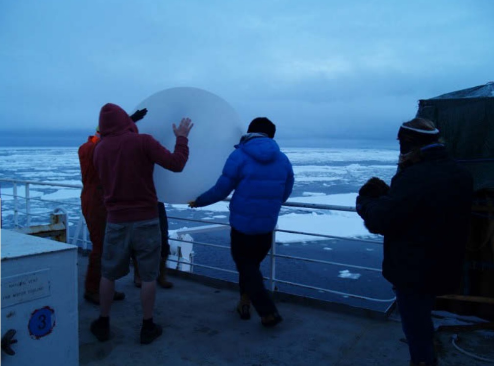
Launch team moving the balloon and attached sonde towards the correct location on JR294 cruise. BODC report