BEDMAP 2
Description
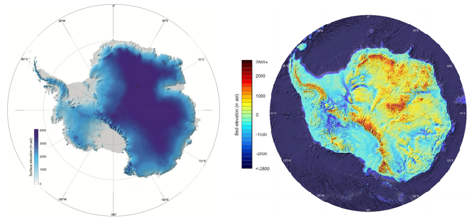
Bedmap2 is a new suite of gridded products describing surface elevation, ice-thickness and the sea floor and subglacial bed elevation of the Antarctic south of 60◦ S. We derived these products using data from a variety of sources, including many substantial surveys completed since the original Bedmap compilation (Bedmap1) in 2001.
References
Fretwell, P., et al. "Bedmap2: improved ice bed, surface and thickness datasets for Antarctica." The Cryosphere 7.1 (2013). Available here
2. BAS BEDMAP2 online overview
Figures

Figure 1: (Left) BEDMAP2 Surface elevation grid. (Right) BEDMAP2 bed elevation grid. (P.Fretwell et al., 2013)