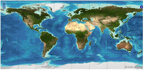
GEBCO bathymetry - 2014
Description
The GEBCO One Minute Grid is a global bathymetric grid with one arc-minute spacing that was originally based on the bathymetric contours contained within the Centenary Edition of the GEBCO Digital Atlas. Additional control contours and sounding point data were used in many regions, particularly shallow water areas and semi-enclosed seas, to constrain the gridding process. It is a continuous digital terrain model for ocean and land, with land elevations derived from the Global Land One-km Base Elevation (GLOBE) database.
References
Weatherall, P., K. M. Marks, M. Jakobsson, T. Schmitt, S. Tani, J. E. Arndt, M. Rovere, D. Chayes, V. Ferrini, and R. Wigley (2015), A new digital bathymetric model of the world's oceans, Earth and Space Science, 2, 331–345. Available here
2. GEBCO gridded bathymetry data product
Figures

Figure 1: GEBCO 2014 gridded bathymetry data download window for global terrain models for both ocean and land. (GEBCO)