LIMA Mosaic
Description
In support of the International Polar Year (IPY 2007-2008), the Landsat Image Mosaic of Antarctica (LIMA) brings the coldest continent on Earth alive in greater detail than ever before through this virtually cloudless, seamless, and high resolution satellite view of Antarctica.
The U.S. Geological Survey (USGS), the British Antarctic Survey (BAS), and the National Aeronautics and Space Administration (NASA), with funding from the National Science Foundation (NSF), created LIMA from more than 1,000 Landsat ETM+ scenes.
References
1. Created for the International Polar Year 2007-2008 and sponsored by the U.S. Geological Survey, National Science Foundation, National Aeronautics and Space Administration, and the British Antarctic Survey.
Figures
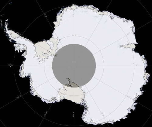
Figure 1: LIMA Mosaic overview of Antarctica. (USGS)