Borehole temperatures - 10 to 15m
Description
During the science traverse season of 2014/2015 borehole temperature profiles were collected in the field for each iSTAR site. 10m and 15m ‘mean annual’ temperature measurements were collected and will help identify the inter-annual variability of snowfall within the region as well as the ice sheet dynamics (when compared to additional glacial datasets e.g. GPR).
The original and bull borehole temperature data is not currently available for download on the iSTAR GIS directory as it is currently pre-publication, once this data has been published the full dataset will be available through the iSTAR GIS download repository
References
1. iSTAR - Drilling into history
2. iSTAR - Initial Environmental Evaluation
Field photo

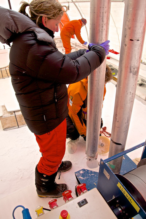
Ice core drill preperation and operation within ice core 'field' laborotory to determine the surface snow accumulation and borehole temperature profile. Alex taylor, BAS