pRES 2013-2014
Description
The pRES data collected on the iSTAR traverse firstly, to intercompare a field dataset with complimentary airborne and satellite data and secondly, to gain knowledge of the near surface stratigraphy in the top 40 meters of the snowpack. The pRES instrument was operated at frequencies ranging from 2 to 18 GHz which spans the 13.5 GHz, or Ku-band operating frequency of the CryoSat-2 satellite and the ASIRAS airborne sensor.
This information is of wider importance for mass balance studies which use surface elevation change from CryoSat data to estimate mass loss of the ice sheets as it is currently unknown a) what is the penetration depth of radar altimeters in Antarctica, b) what is the spatial variability of radar penetration and is there a discernible trend from inland towards the coast, c) is there temporal variability on the radar penetration depth at one location.
The pRES data collected on iSTAR will hopefully help increase our understanding of questions a and b.
References
2. iSTAR - stamp of approval for iSTAR
Field photo

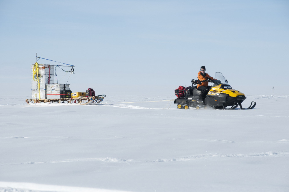
Skidoo towing the phase-sensitive radar (pRES), used to study snow compaction. Radar used on the iSTAR traverse across Pine Island Glacier (PIG) on the West Antarctic Ice Sheet. (BAS Image collection (2013/2014), David Vaughan)
Figures

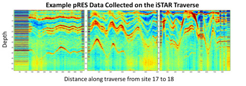
Figure 1: Example kinematic pRES dara from site 17 to site 18 on the iSTAR traverse. Anna Hogg, University of Leeds