Seal dive profile (Weddell & Elephant) tracks
Description
Seal dive profiles created from attached CTD-SRDLs to 14 Elephant (E) and Weddell (W) seals in total. Data was collected during 2014 iSTAR winter season and provided by Uni. of St. Andrews.
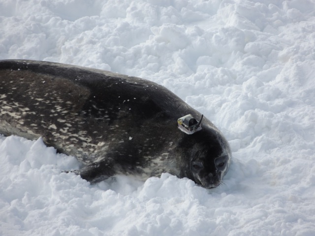
A telemetry tag designed by the Sea mammal Research unit was attached to fur on the seals head with epoxy glue. The tag then sends back profile and sensor measurements (Conductivity, temperature and Depth) via the ARGOS satellite system.
The 14 southern elephant and Weddell seals collected current, temperature and depth data for approximately 10 months, providing more than 12,000 CTD profiles in and around Pine Island and Thwaites glacier area as well as the Amundsen Sea.
The information that the seals collected from the sea around various floating ice shelves is crucial to more accurately predicting whether glacial ice loss will continue accelerating, slow, or return to equilibrium—and how much it will contribute to sea level rise in the future.
As seen from the data, the female elephant seals were the most active divers. Overall the data shows that some seals reached depths over 2000m during their dives.
References
2. iSTAR - Seal tagging part 2
Field photo

A freshly tagged Weddell Seal with telemetry rag recording current, temperature and depth .Mike Fedak, University of St. Andrews
Figures

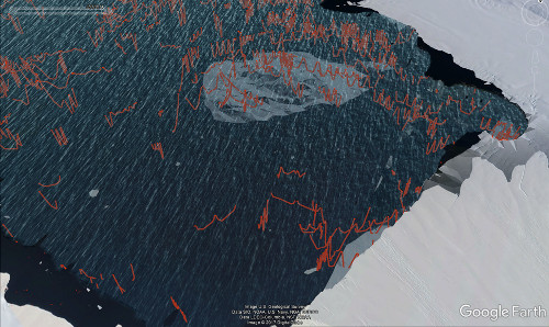
Figure 1: Seal dive profiles viewed on Google Earth at the terminus of Pine Island Glacier. When viewed in 3D it is clear that the seals provide an incredible dataset that encompasses Pine Island Bay and Amundsen sea.Mike Fedak, University of St. Andrews