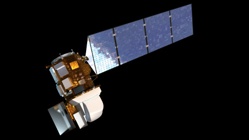
Landsat imagery
Description
Landsat represents the world's longest continuously acquired collection of space-based moderate-resolution land remote sensing data. Four decades of imagery provides a unique resource for those who work in agriculture, geology, forestry, regional planning, education, mapping, and global change research. Landsat images are also invaluable for emergency response and disaster relief.
Currently on the iSTAR GIS a series of Landsat ETM+ (Landsat 7) and Landsat OLI (Landsat 8) scenes are available to present a time-series of Pine Island Glacier from 2010 and 2016
The Landsat scenes (natural colour) used are as follows :
- 08/12/2010 (Landsat 7)
- 27/12/2011 (Landsat 7)
- 02/11/2012 (Landsat 7)
- 28/10/2013 (Landsat 8)
- 13/11/2013 (Landsat 8)
- 11/12/2014 (Landsat 8)
- 09/09/2015 (Landsat 8)
- 30/11/2016 (Landsat 8)
References
2. Data downloaded from USGS Earthexplorer. Available here
Figure

Figure 1: Landsat 8 satellite instrument. CPOM