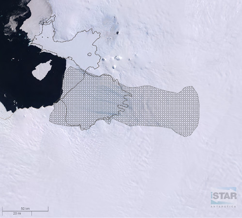
Crevassed Area
Description
At the lower trunk of Pine Island Glacier the intense deformation of the ice stream has caused crevassing. This area of the ice stream can therefore be dangerous for field work and 'in-situ' measurements.
This dataset was created by Jonathan lee (BAS) in QGIS for the iSTAR GIS to identify the known hazardous area of Pine Island Glacier for fieldwork that was identified in the initial iSTAR Environmental Evaluation.
References
1. iSTAR Initial Environmental Evaluation
Figures

Figure 1: Crevassed area of Pine island Glacier overlaid on LIMA Mosaic of Antarctica as seen on iSTAR GIS. iSTAR GIS